California Coast on Alert as Historic Pacific Swells Bring 30-Foot Waves
A succession of powerful Pacific storm systems has triggered widespread coastal hazard warnings across California, where offshore buoys have logged their highest wave heights in three decades.
In this piece
Coastal communities across California are confronting hazardous marine conditions as massive Pacific swells deliver waves exceeding 30 feet to parts of the…
Coastal communities across California remained on high alert this week as successive low-pressure systems over the Pacific Ocean generated massive ocean swells and dangerous surf along the state's shoreline. Authorities issued multiple coastal hazard warnings across the region after offshore monitoring stations registered some of the largest wave heights observed in years.
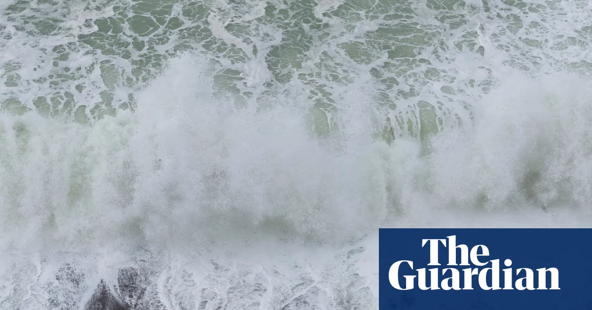
The pounding waves led local officials to temporarily close beaches and public piers over the weekend to protect visitors from violent surf and unpredictable surge conditions. Large breakers battered waterfront infrastructure and shorelines as the energy from deep offshore storms transferred directly onto coastal margins.
Data gathered by offshore buoys operated by the National Oceanic and Atmospheric Administration highlighted the sheer scale of the marine disturbance, with instruments recording wave heights surpassing 30 feet, or roughly nine meters, late last week. Most notably, an offshore buoy near Monterey, California, recorded a peak wave height of 34.1 feet. That measurement stands as the highest reading documented by the Monterey station in 30 years.
The prolonged swell activity prompted meteorologists to extend coastal hazard alerts through Friday night for substantial stretches of the shoreline. Forecasters warned that general wave heights between 10 and 18 feet would persist along much of the coast. For more exposed locations, such as beaches in San Luis Obispo County and along the Santa Barbara County central coast, local breaking sets were projected to reach between 18 and 22 feet.
The turbulent ocean conditions represent only one component of a broader sequence of Pacific storm systems impacting the western United States. In addition to high surf along the coastline, these low-pressure disturbances have directed unsettled weather across the interior, triggering heavy precipitation, strong winds, and mountain snow over several days.
The storms have already disrupted inland metropolitan regions and public infrastructure. San Francisco experienced record-breaking rainfall on Wednesday as moisture bands swept through the Bay Area. Further inland, severe downpours and stormy conditions caused utility disruptions in Sacramento, where approximately 32,000 utility customers lost electrical power.
Extreme wave activity presents severe challenges for coastal management and public safety, compounding the risks of beach erosion, pier damage, and localized flooding in low-lying seaside neighborhoods. Emergency responders and weather services have urged residents and travelers to stay away from exposed rock outcroppings and vulnerable beaches while the dangerous breakers persist.
Looking ahead into the coming weekend, weather projections indicate that atmospheric stability remains distant as another low-pressure system moves toward the West Coast. This incoming front is forecast to direct a substantial plume of moisture into northern California and southern Oregon, sustaining the cycle of turbulent weather across the region.
By Sunday night, localized accumulations of rainfall could exceed 100 millimeters, or approximately four inches, in the hardest-hit areas. Meanwhile, higher terrain is bracing for significant winter weather impacts, with further snowfall projected for high-elevation transit corridors such as Donner Pass across the northern Sierra Nevada mountains.
With back-to-back storm fronts maintaining both treacherous ocean swells and inland weather hazards, coastal residents and transportation agencies are maintaining close vigilance. Officials will continue monitoring offshore buoy data and local shoreline conditions as the storm track dictates the duration and severity of the unsettled pattern.
Primary source: The Guardian World. Newzly rewrites and structures source reporting for clarity; verify critical details at the original.