Tamil Nadu Unlikely to See Major Impact from Developing Bay of Bengal Cyclone
A severe cyclonic storm developing over the Bay of Bengal is projected to track northward, sparing Tamil Nadu from major direct impacts while bringing isolated light showers and offshore warnings.
In this piece
A developing severe cyclonic storm over the southeast Bay of Bengal is unlikely to bring significant disruptions to Tamil Nadu, meteorologists report. The…
A developing severe cyclonic storm brewing over the southeast Bay of Bengal is unlikely to make a direct hit or cause significant disruptions across Tamil Nadu, according to meteorological forecasts. Meteorologists and regional monitoring centers reported that the low-pressure disturbance is strengthening over warm ocean waters but following a trajectory directed away from the southern state's immediate coastline.
The weather system originated as a low-pressure area over the southeastern waters of the Bay of Bengal before gradually consolidating into a deeper depression. Atmospheric conditions and upper-air steering currents are guiding the cyclonic formation on an initial northwestward heading, after which it is expected to re-curve towards north-northwestward routes. This anticipated path keeps the intense core of the storm well out over open sea, sparing coastal Tamil Nadu from direct landfall.
While direct cyclone impacts are not anticipated, weather officials noted that peripheral cloud bands could bring intermittent, isolated light to moderate rainfall over specific regions. Interior districts bordering the Western Ghats and isolated areas in southern Tamil Nadu may experience passing showers as moisture-laden winds brush through the peninsula. Northern coastal belts, including the Chennai metropolitan area, are forecast to see mostly cloudy skies with occasional light precipitation rather than heavy deluge.
The projected storm path aligns with established seasonal weather patterns observed during the Northeast monsoon across the Bay of Bengal. Meteorological records show that only a small proportion of cyclones forming in the southern Bay of Bengal during October and November cross the Tamil Nadu coastline directly. Most intense systems that originate in the southeast Bay tend to curve northward or northeastward toward Andhra Pradesh, Odisha, or Bangladesh as atmospheric ridges steer them along the western rim of the basin.
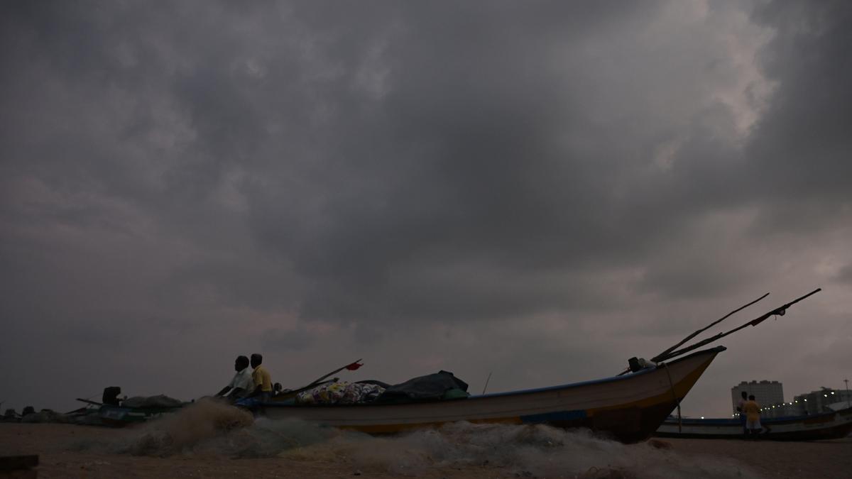
Despite the minimal inland threat to Tamil Nadu, maritime authorities have issued cautionary advisories for coastal communities and seafaring operations. The India Meteorological Department and regional disaster management teams have warned fishermen against venturing into deep waters across the central and southern sectors of the Bay of Bengal. Squally winds, rough swell conditions, and sudden squalls around the storm's vortex pose considerable hazards to smaller vessels operating in offshore waters.
The lack of widespread extreme rainfall brings a mixed outcome for agricultural and civic planners across Tamil Nadu. Heavy cyclonic downpours often carry the danger of sudden urban flooding and crop submergence, which farmers and municipal administrations are keen to avoid during harvest preparations. Conversely, moderate and manageable showers remain essential to replenish key water storage reservoirs and sustain winter cropping cycles without triggering waterlogging.
State emergency response agencies and district administrations maintain continuous monitoring protocols throughout the active monsoon season. Coastal surveillance units and local relief networks remain on high alert to handle any sudden shifts in localized squalls or localized sea surges. Government agencies have urged coastal residents to follow official weather bulletins and avoid relying on unverified alerts or exaggerated social media rumors.
Meteorological tracking stations will continue assessing satellite imagery, ocean buoys, and radar feeds over the coming days to chart the cyclone's intensity and exact curvature. If the system maintains its current northward deflection toward the central and northern Bay, mainland Tamil Nadu is expected to resume standard seasonal conditions with largely dry to mild weather. Officials emphasize that while the immediate risk remains low, maritime warnings will remain active until the storm completes its northward passage.
Primary source: Google News Tamil Nadu. Newzly rewrites and structures source reporting for clarity; verify critical details at the original.