Multiacre Forest Fire Burns on Bucks Ledge in Woodstock, Maine
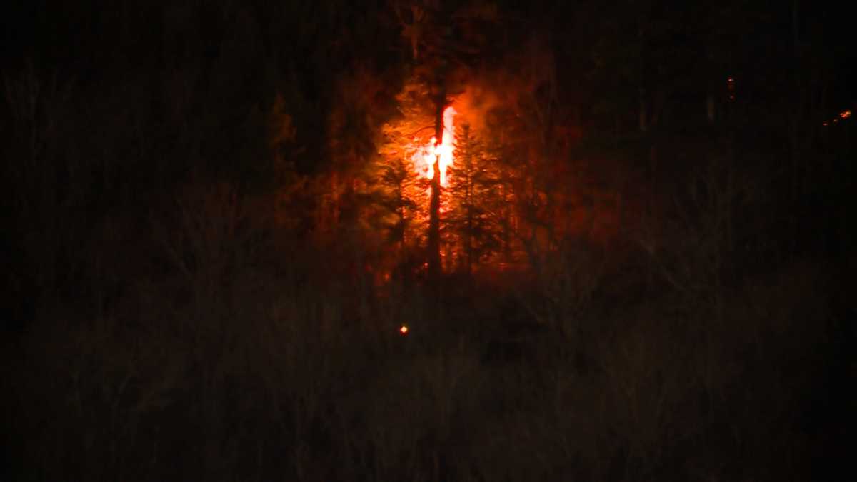
Firefighters and forest service crews responded to a multi-acre woodland fire burning on Bucks Ledge in Woodstock, Maine. Ground teams confronted steep, rocky terrain as they worked to contain the blaze.
In this piece
Emergency response crews in Oxford County, Maine, mobilized to combat a multi-acre forest fire burning across Bucks Ledge in Woodstock. Firefighters confronted…
Emergency response crews and forestry officials were deployed to battle a multi-acre forest fire burning across rugged terrain on Bucks Ledge in Woodstock, Maine, according to reports from local broadcaster WMTW. The blaze broke out in the heavily wooded ridge area, sending plumes of smoke visible across parts of Oxford County and prompting an immediate response from regional wildland firefighting units.
Bucks Ledge, a prominent hiking and forested destination situated in the town of Woodstock, features steep topography and dense timber that complicate wildland suppression operations. Firefighters faced challenging ground conditions as they worked to reach the flames, establishing staging areas near local access roads while coordinating containment lines.
Crews on the scene mobilized specialized equipment suited for woodland blazes, where steep grades often prevent conventional fire engines from directly approaching the fireline. Ground personnel routinely deploy portable water pumps, brush trucks, and hand tools to scrape containment perimeters down to mineral soil, cutting off potential fuel paths.
The incident on Bucks Ledge comes amid heightened seasonal sensitivity across Maine forests, where dry brush, fallen leaves, and variable wind conditions can accelerate ground fires into larger woodland emergencies. Even modest winds across elevated ridges can fan embers across natural barriers, complicating efforts to keep flames confined to uninhabited zones.
While the fire was burning within timberland, local emergency personnel continuously evaluated the perimeter for any potential threats to nearby residential properties, seasonal camps, or infrastructure along surrounding roadways. Rural communities across western Maine maintain close mutual aid networks to pool water tankers, specialized wildland personnel, and brush rigs during remote incidents.
Woodland fires on elevated ledges present distinct tactical challenges for emergency responders. Rocky outcrops and steep inclines heighten the physical strain on ground crews carrying heavy gear, while also limiting where water can be ferried without specialized high-pressure forestry hoses or air support assistance.
In similar multi-acre blazes across Maine, the Maine Forest Service often provides vital aerial reconnaissance and water-drop capabilities using helicopters equipped with specialized buckets to cool hotspots along inaccessible ridgelines. Ground teams depend on these aerial assessments to pinpoint active flare-ups and map containment boundaries across vast tracts of forest.
Local authorities typically advise residents in adjacent valleys and roadways to remain aware of shifting smoke patterns, particularly during evening hours when atmospheric inversions can trap particulate matter near the ground. Hikers, outdoor recreationists, and travelers are routinely urged to steer clear of trailheads and access routes near active fire zones to allow emergency vehicles unimpeded access.
Firefighting operations in dense woods often require extended operational periods, as deep-seated embers smolder beneath leaf litter and root systems long after open flames subside. Responders will focus on reinforcing containment perimeters, patrolling for hot spots, and monitoring wind shifts to prevent rekindling, with local officials expected to provide updated assessments as containment milestones are reached.
Primary source: Google News Maine. Newzly rewrites and structures source reporting for clarity; verify critical details at the original.